
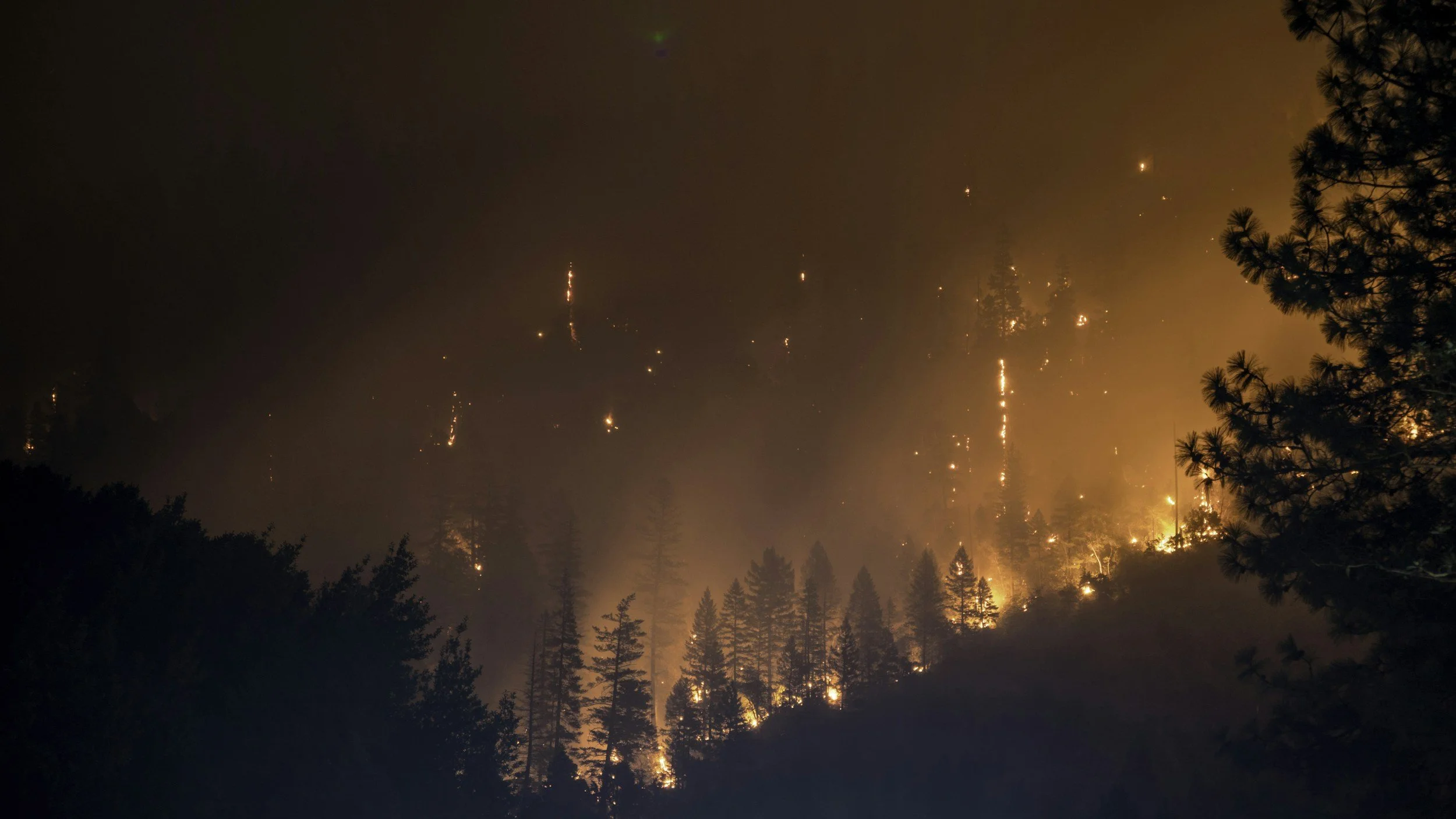
Wildfire Mapping
As wildfire activity increases across the West, accurate fire mapping is more important than ever. Fire perimeter and fire history maps reveal patterns over time, helping communities, agencies, and land managers better understand wildfire risk.
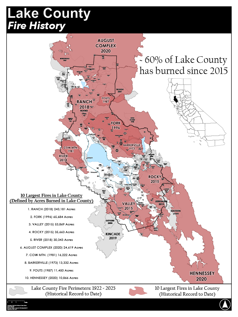
Lake County, CA
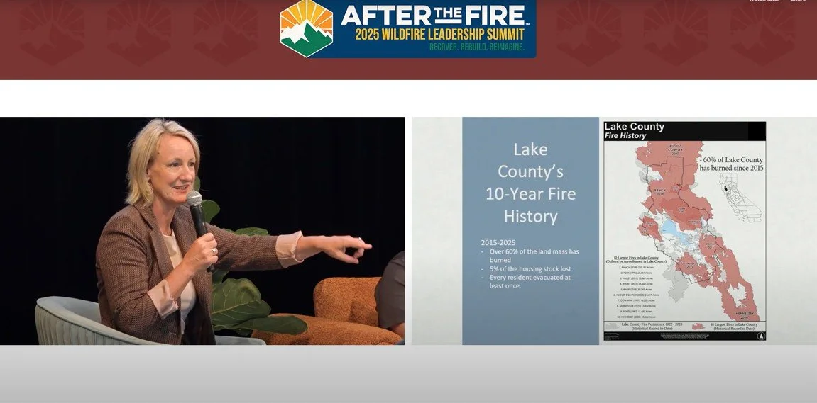
Through geographic spatial analysis, the percentage of land mass of Lake County California burned by wildfire was confirmed at approximately 60% in the past 10 years (2015-2025). This analysis and map was produced in support of Lake County District 5 Supervisor Jessica Pyska’s presentation on creating wildfire prepared homes at After the Fire’s 2025 Wildfire Leadership Summit.
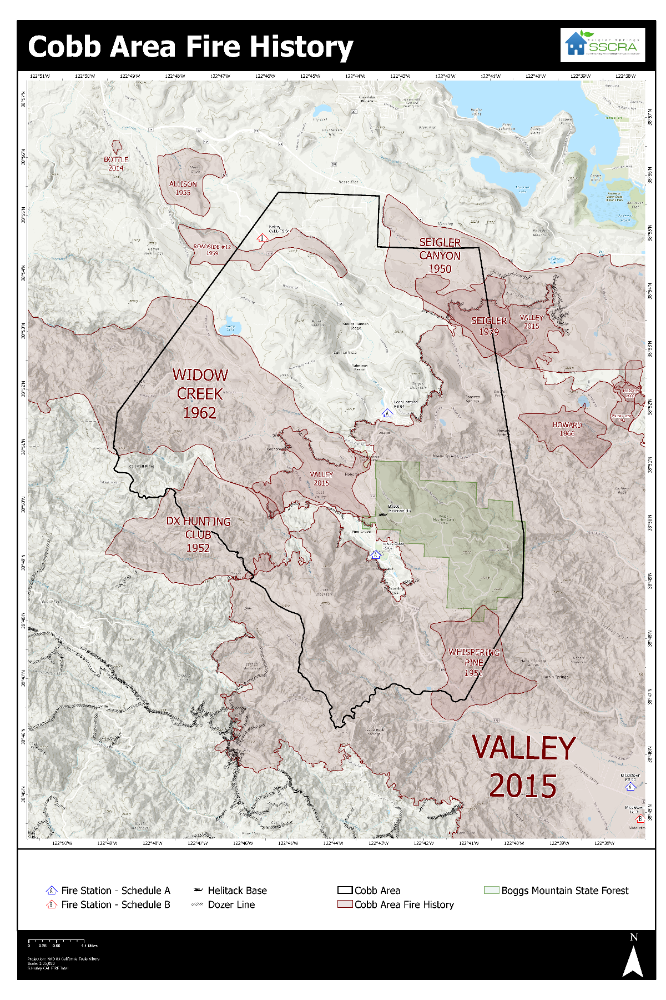
Cobb, CA
In support of the Siegler Springs Community Redevelopment Association, formed in the aftermath of the 2015 Valley Fire, this map was created to depict the historical fire history of the Cobb area for a local Community Wildfire Protection Plan event in 2025.
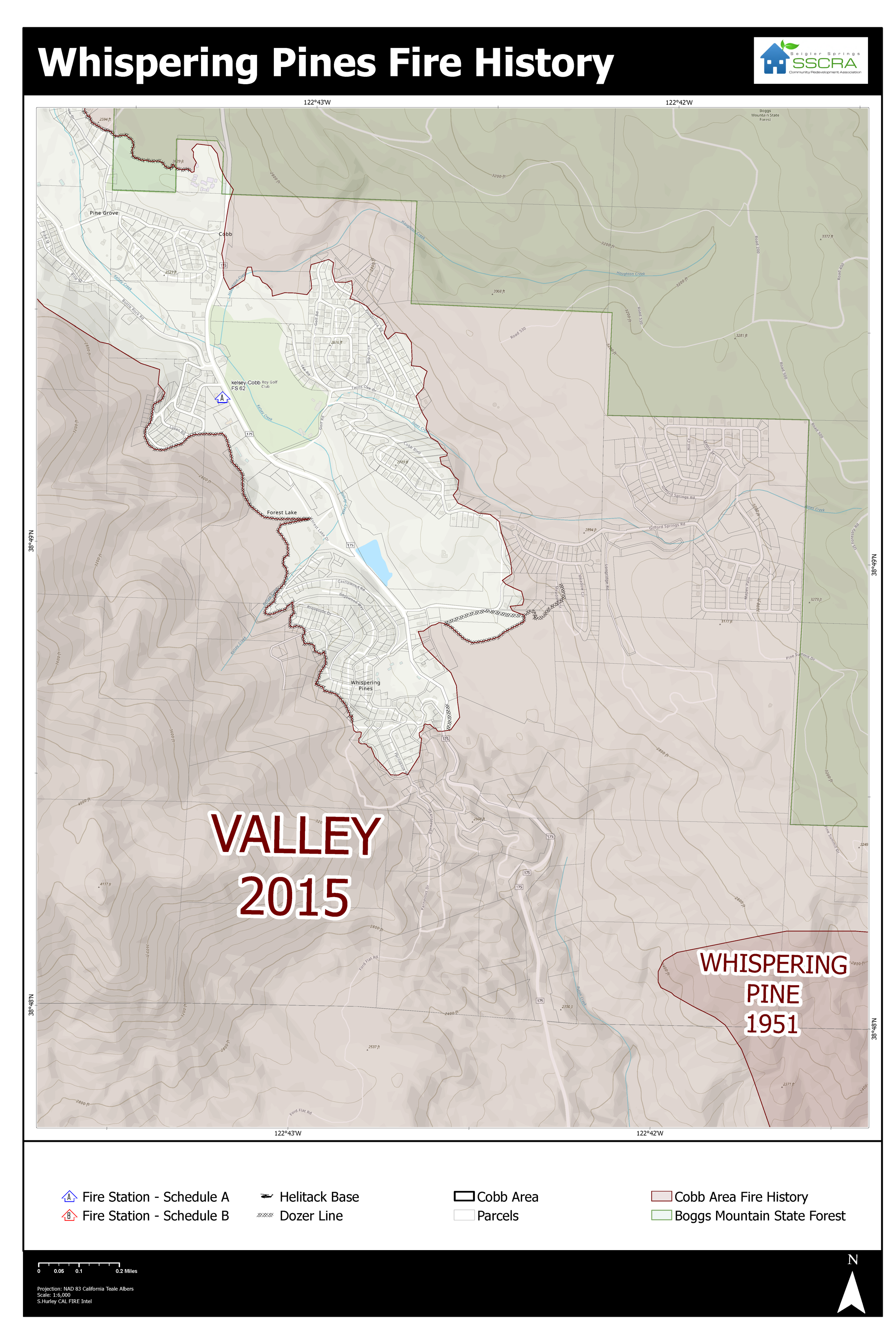
A closer look at the 2015 Valley Fire’s footprint and containment within the Whispering Pines & Cobb communities for their Community Wildfire Protection Plan event in 2025.