

About Me
Hi, I’m Shannan! I’m a GIS specialist who loves organizing and analyzing geospatial data & transforming it into map products that grasp an audience. I am based in the San Francisco Bay area and serve local regions and beyond.
I am certified in GIS & have 10+ years of experience utilizing ESRI software and online platforms. Growing up in the Midwest and building my career across both the East and West Coasts, I’ve gained firsthand experience with very different environments—from rural farmland to coastal communities to fire-prone landscapes. This mix of perspectives helps me understand how people connect to the places they live & work and gives me a practical, grounded approach to geospatial work.
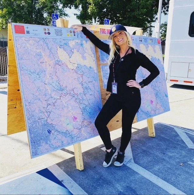
Areas of previous projects include crops and growing degree data, sea level rise, climate change, marine animal migration, utilities, local governments, non-profits & natural disasters — especially wildfire. I bring a mix of technical skill, creativity, and curiosity to every project. If it involves data, geography, and problem-solving—I’m in!
Education
Masters Certificate, Geographic Information Science (GIS)
Old Dominion University - 2019
Bachelor of Science, Biology
Old Dominion University - 2013
Qualifications
Geographic Information Systems Specialist - GISS
National Wildfire Coordinating Group - 2021
Publications
Should We Expect Each Year in the Next Decade (2019–28) to Be Ranked among the Top 10 Warmest Years Globally?
Professional Presentations
The Current Status of Marine Protected Areas in the Western Central Atlantic
The 66th Gulf & Caribbean Fisheries Institute Conference - 2013